

Bearings, the Barber, and the Model
How I see the world as a grid, and why I built my own instruments to navigate it.
The oldest sea charts we have carry no coordinates. No latitude, no longitude, nothing to fix a position against. What they carry instead is a mesh of lines, sixteen or thirty-two of them radiating out from each compass rose, crossing the whole sheet in a web. Those lines are bearings. Directions, not places.They have no up, either. A sailor rotated the chart on deck until the bow pointed at the top of the sheet, because the thing orients to your heading rather than to the world.
Mateo Prunes, chart of the mediterranean, the Black Sea, and the coasts of Western Europe and northwest Africa, 1559. Pen and ink and gouache on vellum. Source: Library of Congress, Geography and Map Division.
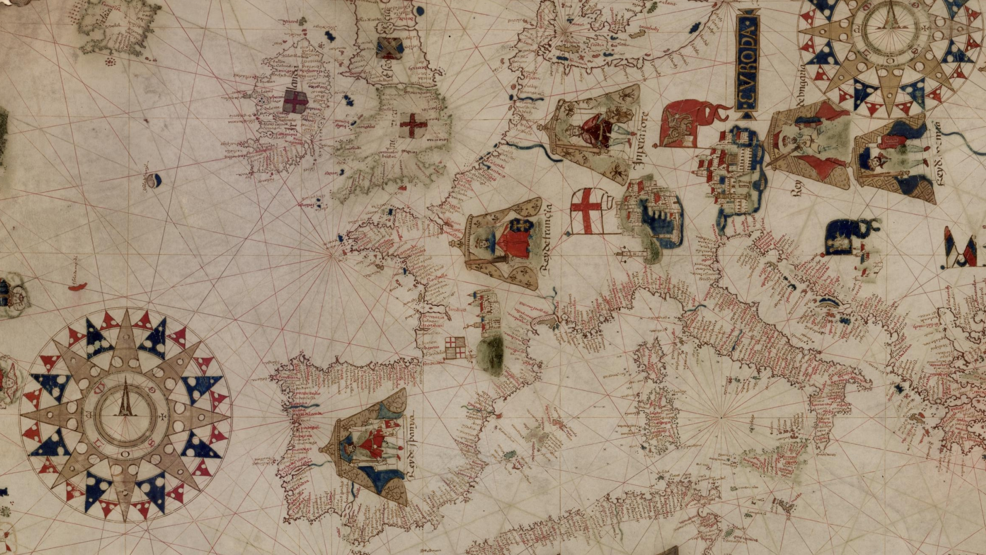
Many were drawn in Majorca, a short way down the coast from where I work now, lettered in the language they still speak here. The distances came from voyages people had already completed, sailing times remembered and written down, and the charts kept being corrected as more sailors came home.
The routes drew the map. Not the other way around.
I. The grid is not a layout
I see the world as a grid. Not the kind that aligns a column of type. A field of positions, where anything worth designing comes down to where a thing is, where it wants to go, and what the honest route between those two points actually looks like.
This is not a recent metaphor. I am Frisian, from a province of shallow lakes where every crossing is a decision and the shortest line is rarely the one you sail. My first serious work was documentary research, which is mostly the discipline of knowing where to stand. In 2005 I worked on navigation devices, back when a car knew where it was and a phone did not. Later came a decade of turning global supply chains and regulatory exposure into data visualizations an executive could act on.
When it came time to name that company and draw its mark, both arrived maritime. A hull, and a way of reading water. Nobody briefed that. It is simply what surfaced.
Then agentic AI arrived, and it turned out to think in exactly these terms.
An agent’s world is a state space: a graph of nodes, and edges describing every move available between them. Goal-based agents search that graph for the best available route. The textbook example, in paper after paper, is GPS navigation. The substrate of the thing everyone is suddenly excited about is a map, a position, and a path.
I have been standing in that room for twenty years. It only just got crowded.
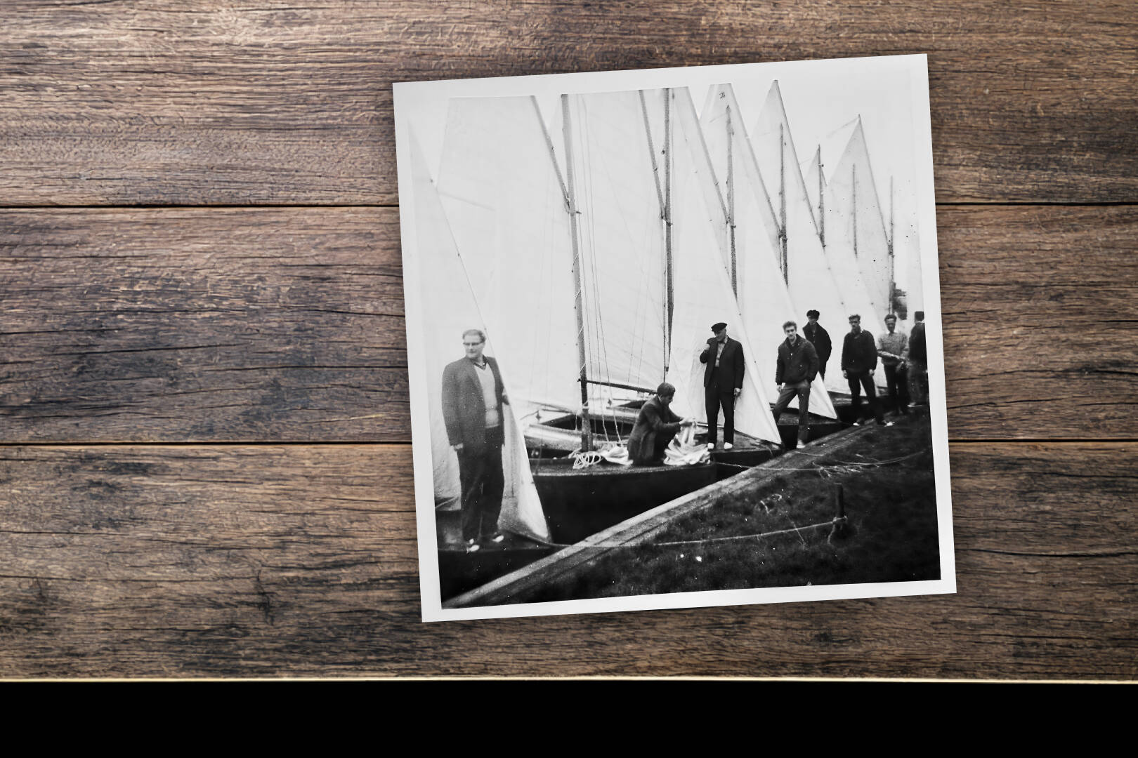
Eight BMs, one specification. Built by my grandfather, standing on the left. Shipyard, Sneek, The Netherlands.
II. Instruments, not deliverables
My grandfather built boats. BMs, on the Frisian lakes, most of his life. The class was drawn in 1928 by a barber from Bergum who had worked out that a complex curved hull could be made from many narrow strips of wood, one simple rule repeated until it produced a shape nobody could have drawn directly.
My family still has his toolkit. Wooden box, metal blades, notebooks in his handwriting. The handles are worn into the shape of the grip he used, and as a boy I could not stop touching them. What came down to me was the habit of making the thing that makes the thing.
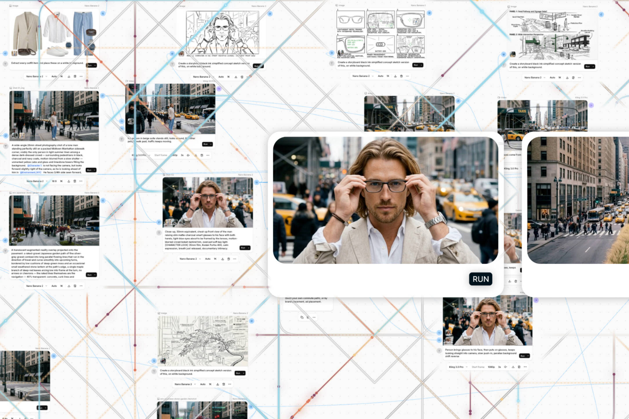
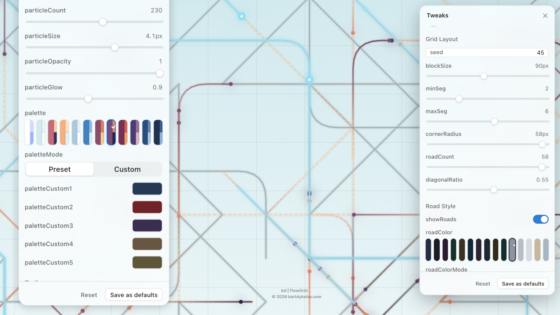
So I built bd | Flow Grid. It generates a grid, then runs particles across it, and they find their routes. Some of those routes are the ones I expected. The interesting ones are not, and those get kept and paved.
bd | FLOW GRID. The parameters panels steer every route and particle.
bd | Banner Blueprint Generator. Same source, finished surface.
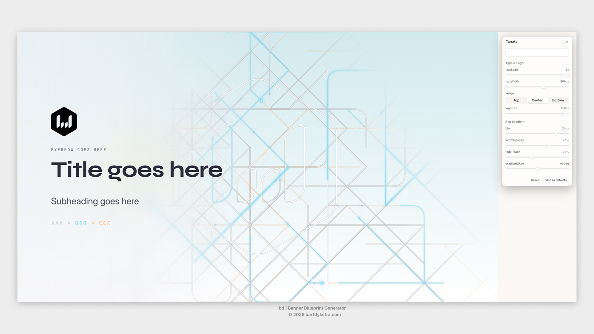
Then I built bd | Banner Blueprint Generator, which takes any Flow Grid output, still or moving, and composes it into finished formats. Motion pieces come next, from the same source.
These are instruments, not templates. The defaults in mine are tuned to my hand, my palette, my sense of density and rhythm. Every one of them is a parameter. Change the grid, the flow, the colour, the tempo, and the same instrument plays a different brand.
Even the hour is a parameter. The sky in that opening film moves from day to night and back because agentic systems keep running at three in the morning, through the weekend, over the holiday, and the operations they touch never fully sleep either. A visual system built for such a thing should know what time it is. Not as decoration. As an admission of what the work now actually is. Sun by day, stars by night, same passage.
The system holds because the logic holds, not because the settings are sacred.
The mark, before it commits. The grid that draws it, stays in it.
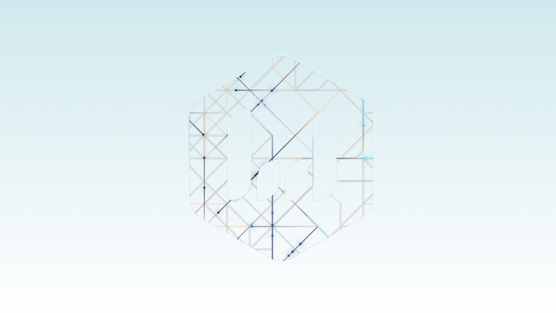
On those old charts the rhumb network did two jobs. The cartographer drew his coastlines against it, and then the sailor plotted his course along the same lines. Nobody erased the construction. The grid that made the map is the grid you navigate by.
III. Leeway
Point a boat at a mark and it will not go there. Wind pushes it sideways, the centreboard resists, and the hull ends up travelling at an angle to where the bow is aimed. Sailors call that angle leeway, and the only honest way to see it is to look behind you, at your own wake running off at a slant from the course you thought you were making. There is an old correction for it. Keep your wake right astern.
Here is the part that took me years to understand properly.
The board cannot remove leeway, and it is not built to. It needs some of that sideways slip, because the slip is what generates lift, and the lift is what drives the boat forward. Close the gap completely and you stop moving.
Leeway is present on every point of sail except dead downwind. The only way to have no distance between where you point and where you go is to go exactly where you are already being pushed.
I stopped treating that as a metaphor some time ago. The distance between what I intended and what came out is where the lift is.
AI has narrowed the water considerably. It will generate forty routes while I consider one, it never tires, and it does not mind being wrong. What it will not do is decide which route is right, because it has no stake in the arrival.
The medieval navigator had the same arrangement. His chart handed him a theoretical course, transferred off the nearest windrose. Then he corrected it, as many times as the passage demanded, for tacking and current and leeway, and no chart on earth could do that part for him. It was reckoned empirically, by someone who had been out there before.
By the time my grandfather was building them, the BM was a fixed class. Every hull to the same specification, which is the whole point of one-design: make the boats identical and the racing tells you about the sailors. Everybody has the same model now.
The instrument gives you the route. Experience gives you the correction.
That correction is the part I am for.
“Keep your wake right astern!” Final composition where system and its output meet.